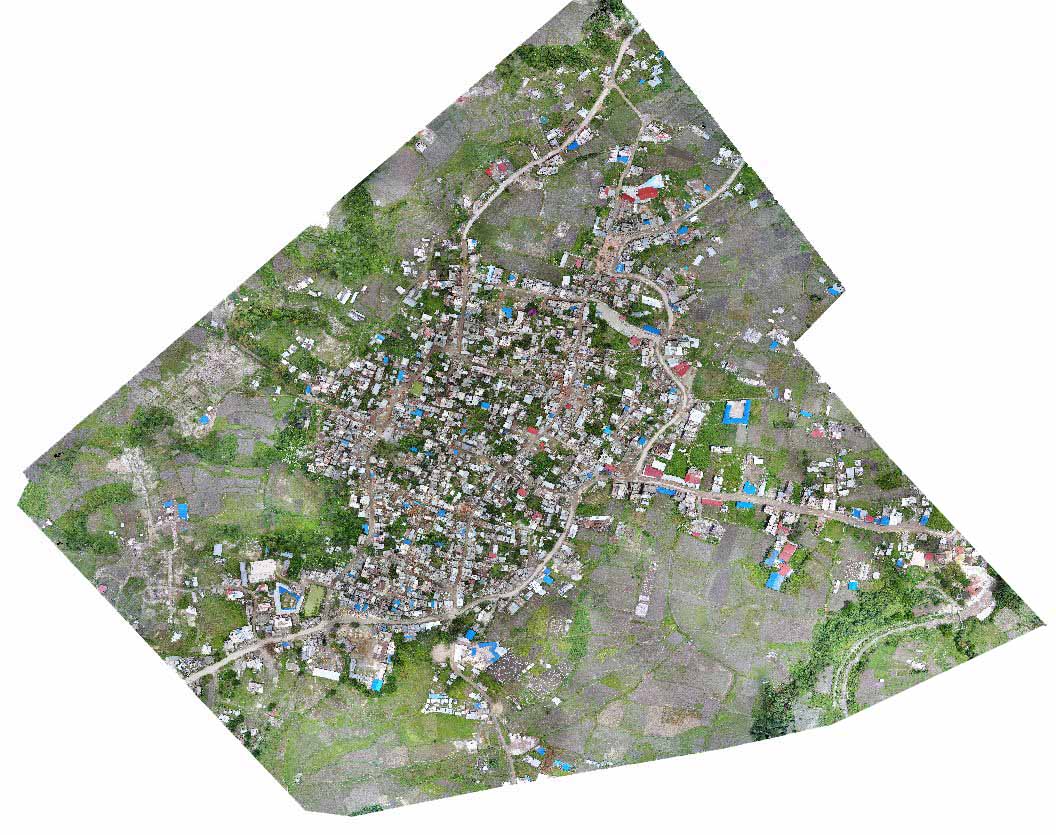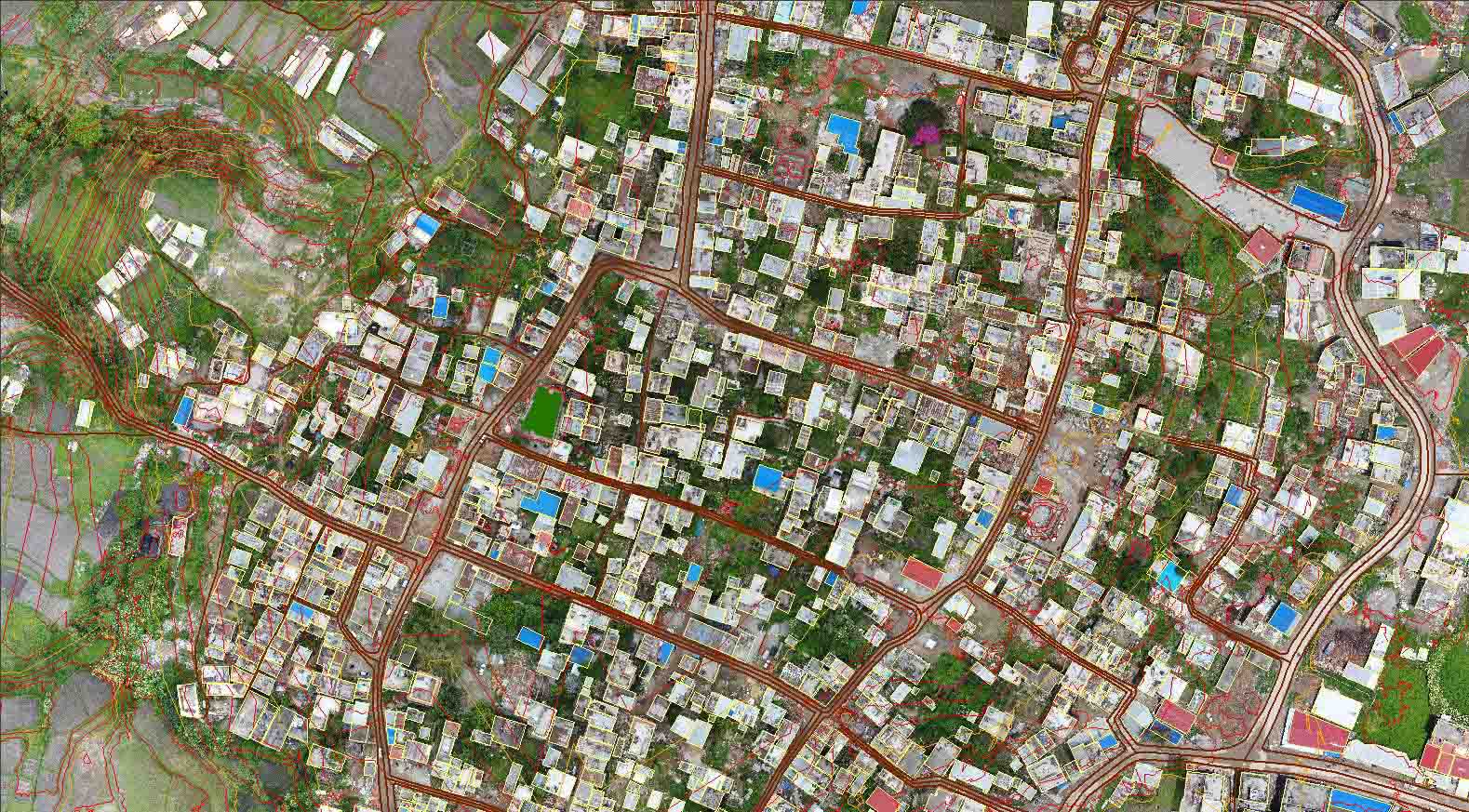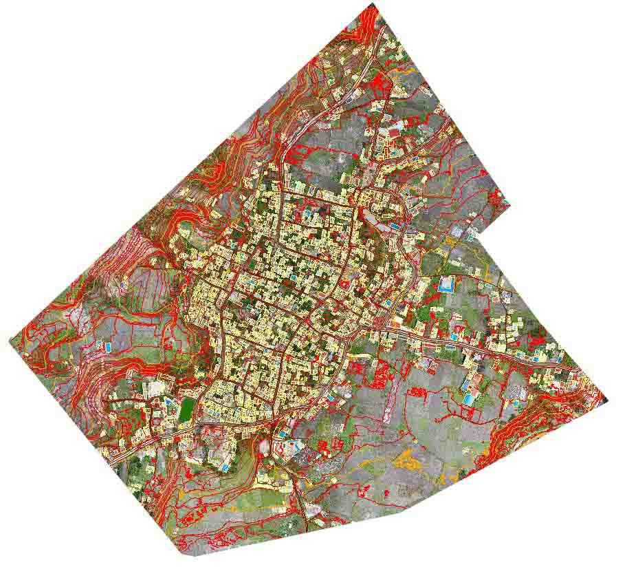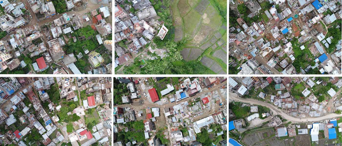
GeoSpatial is capable of performing various processing under drone mapping such as generation of contour, DEM (Digital Elevation Model), high quality orthophoto, stereo model for 3D vectorization and 3D modelling. In this regard GeoSpatial has done a drone mapping project of Sankhu, Shankarapur Municipality. Project was focused on old cluster area of Sankhu. The flight was based on intended trajectory as required to capture the photos for the project and later processed for outputs Contour, DEM, orthophoto and stereo model for 3D vectorization as required by the client.