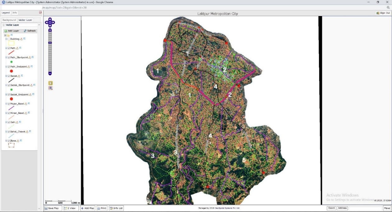
The main objective of the Project is to establish scientific metric addressing system (MAS) in LMC to support good governance practices, pro-poor policies and equitable, resource mobilization and balanced development of the LMC.
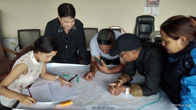
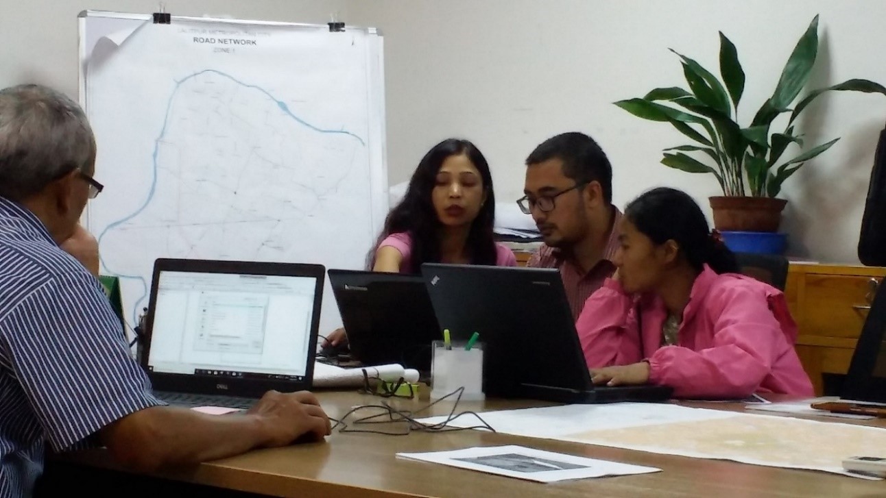
The specific objectives of this project are to prepare GIS based Base Map of LMC, design and develop systematic metric address system and house numbering system with reference to street network of LMC, help municipality to build its managerial capability, to mobilize the local resources (direct taxation systems) by establishing the functional linkages between the address-based information and property-based taxation systems, enable to quickly finding the location/address and promptly delivering municipal services, integrate all prepared data of LMC in WebGIS system for public visualization, and train technical staffs working in LMC on MAS and assists LMC in the intensive use of house numbering information in service planning and other decision-making processes as well.
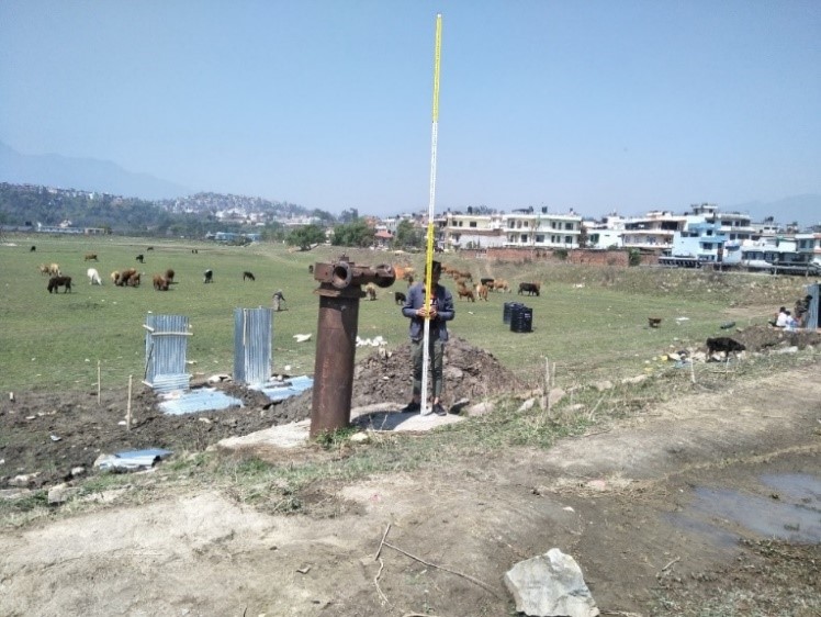
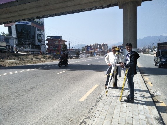
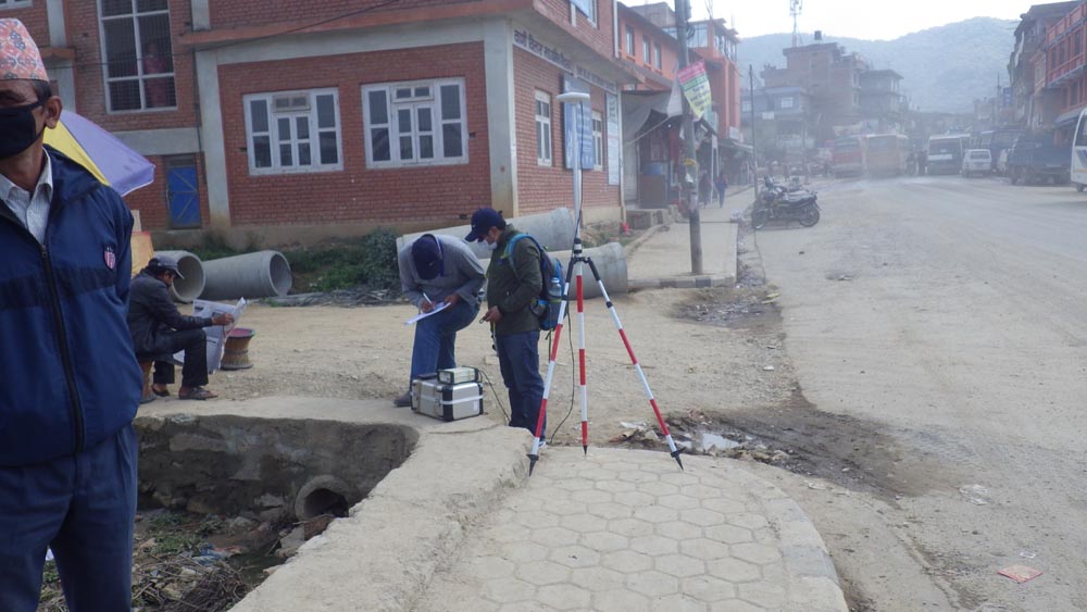
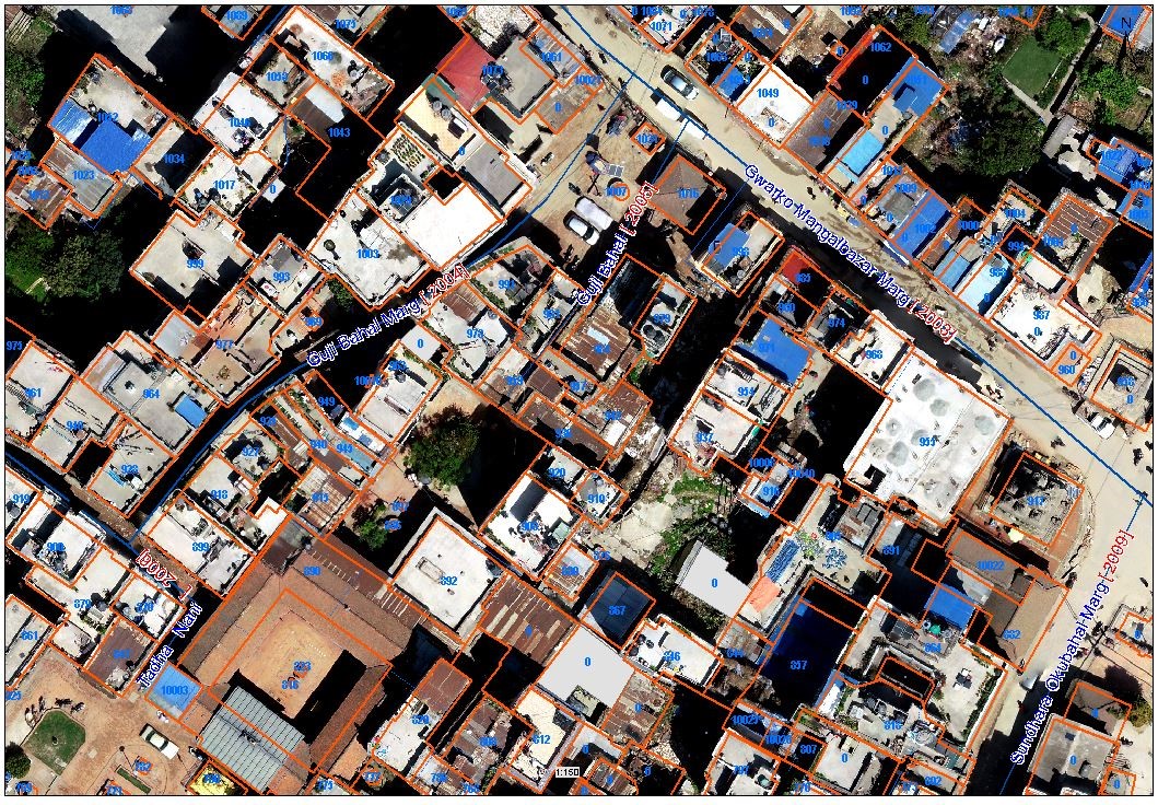
The stated objectives of the Project were initially anticipated to complete by using high resolution (0.32 m) stereo satellite imagery . However, the quality of the satellite imagery inside the core city area was not good due to the high pollution level thus, the area inside the Ring Road was again captured by using the Drone from an elevation of 50 to 100 meter with 2 cm resolution. All the imagery were projected and transformed based on the GCPs by using the Differential Global Positioning Systems (DGPS) and conventional Traverse Leveling Survey and rectified properly. Spatial Surface Modeling (SSM), 3-D and Orthophoto have been generated by using the Photogrammetric process.
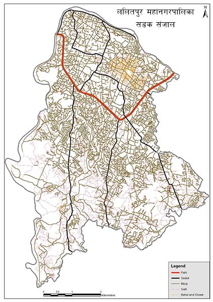
मेट्रिक ठेगाना प्रणाली निर्देशका