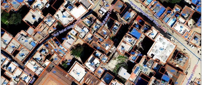
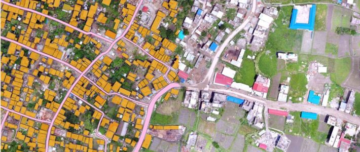
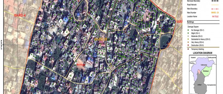
Metric Addressing System of Lalitpur Metropolitan City (LMC)

The main objective of the Project is to establish scientific metric addressing system (MAS) in LMC to support good governance practices, pro-poor policies and equitable, resource mobilization and balanced development of the LMC. The specific objectives of this project are


